Canyon de Chelly National Monument was a late addition to our trip. I had read "Blood and Thunder" by Hampton Sides, a biography of Kit Carson, and Canyon de Chelly figures prominently in the narrative. So, we left a day earlier than originally planned to be able to see the canyon on our way to Utah. Click here to view the NPS website.
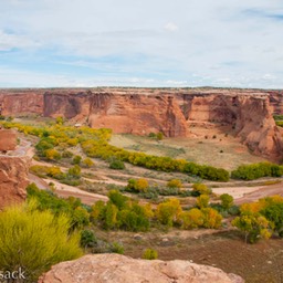
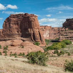
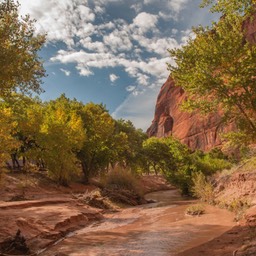
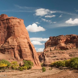
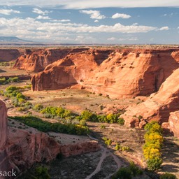
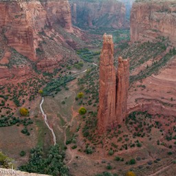
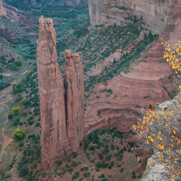
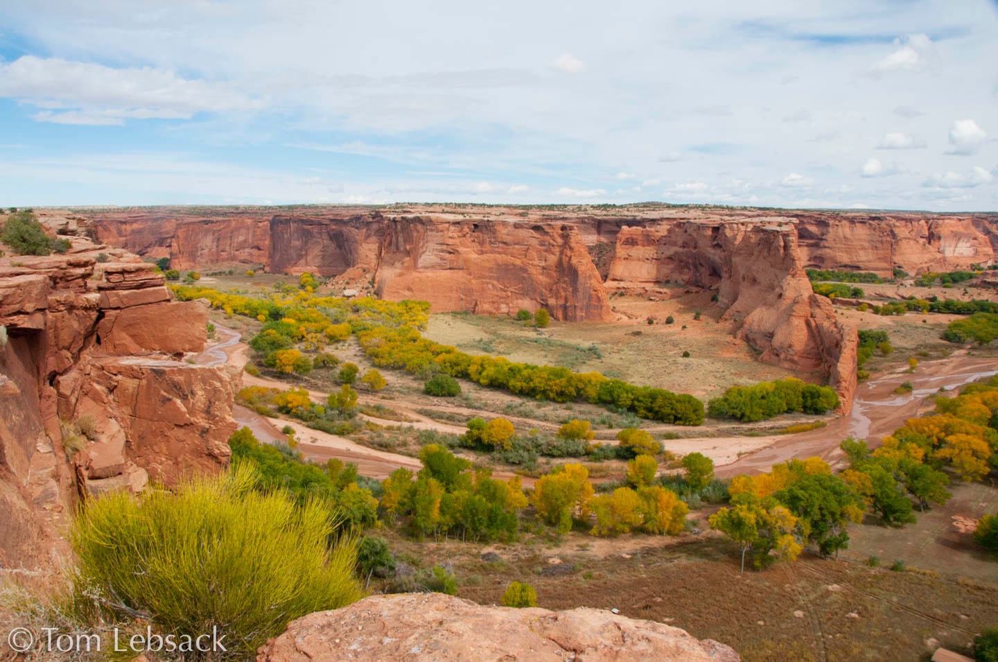
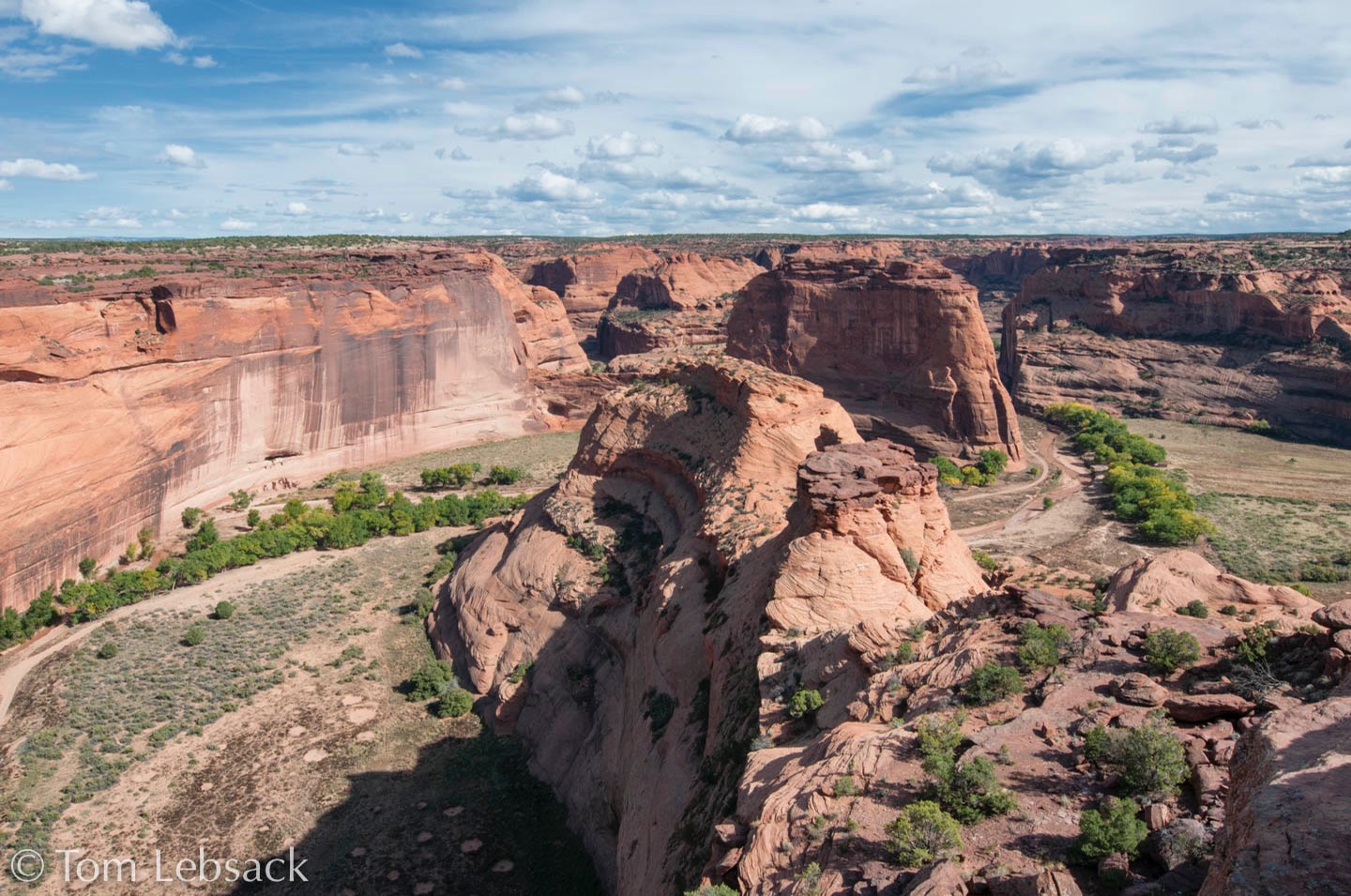
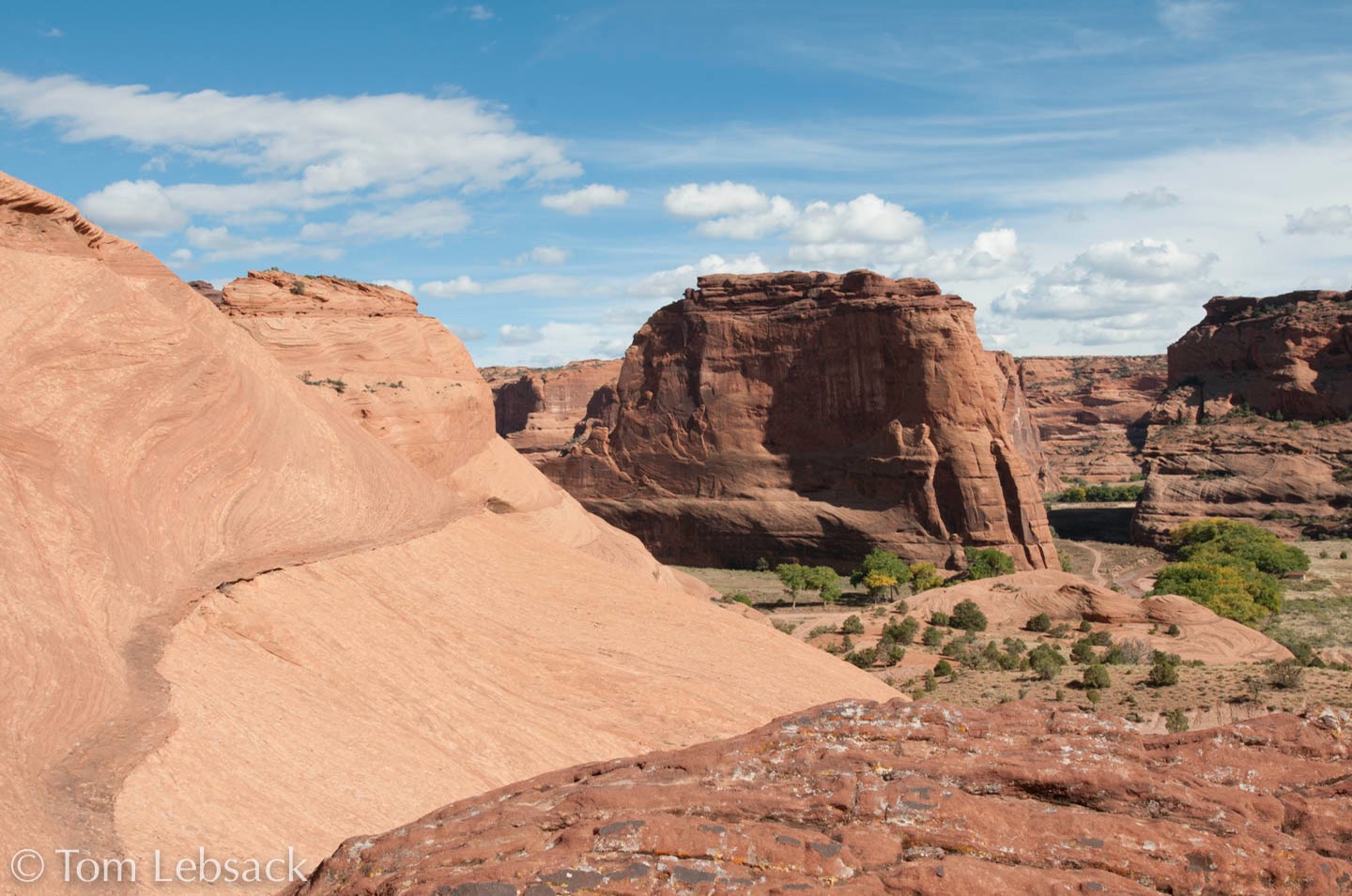
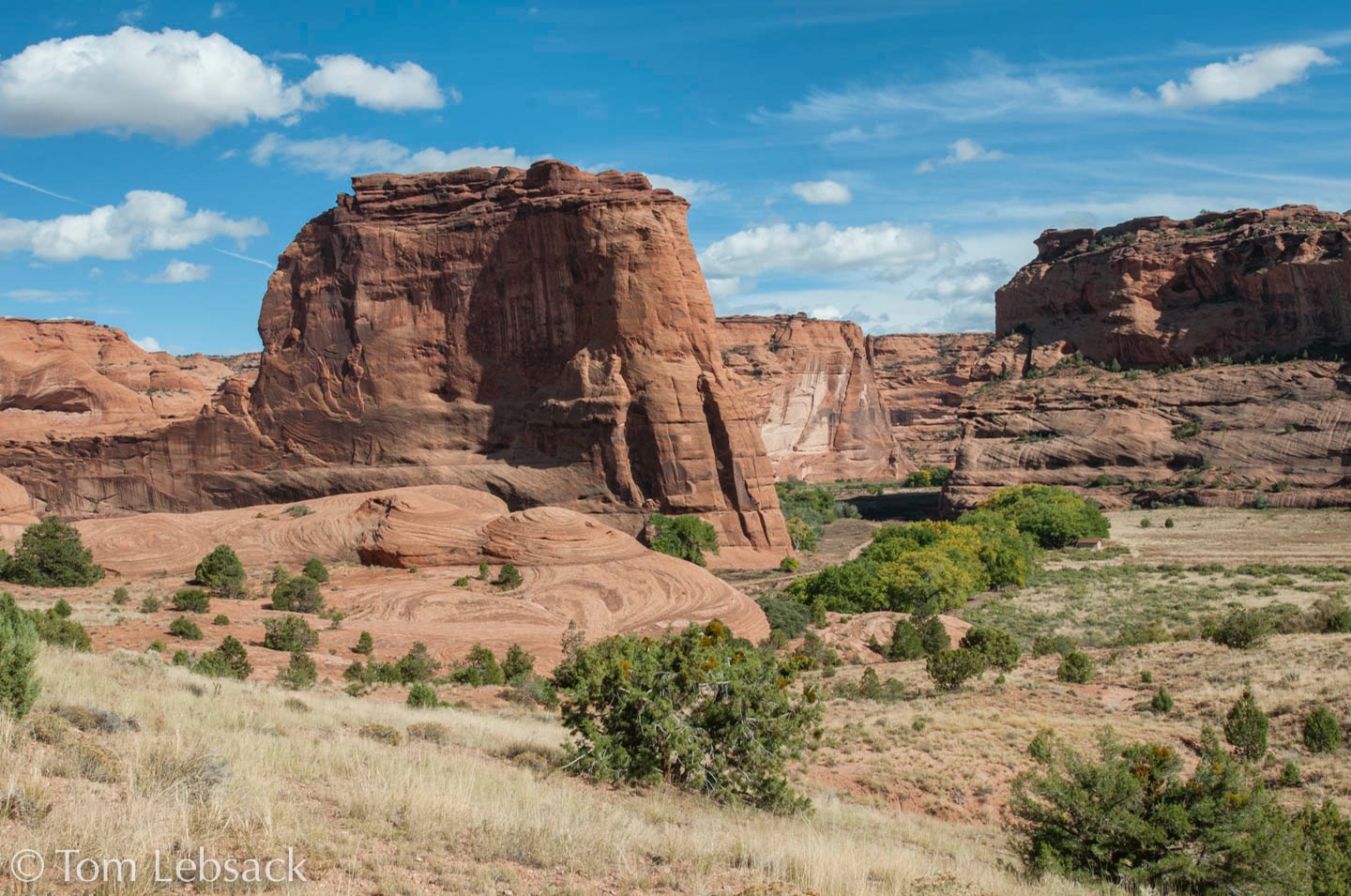
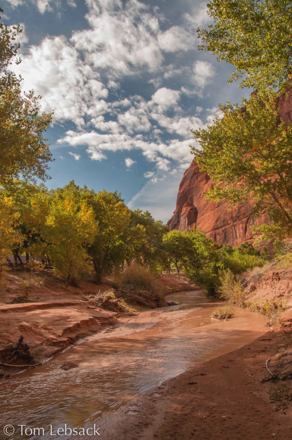
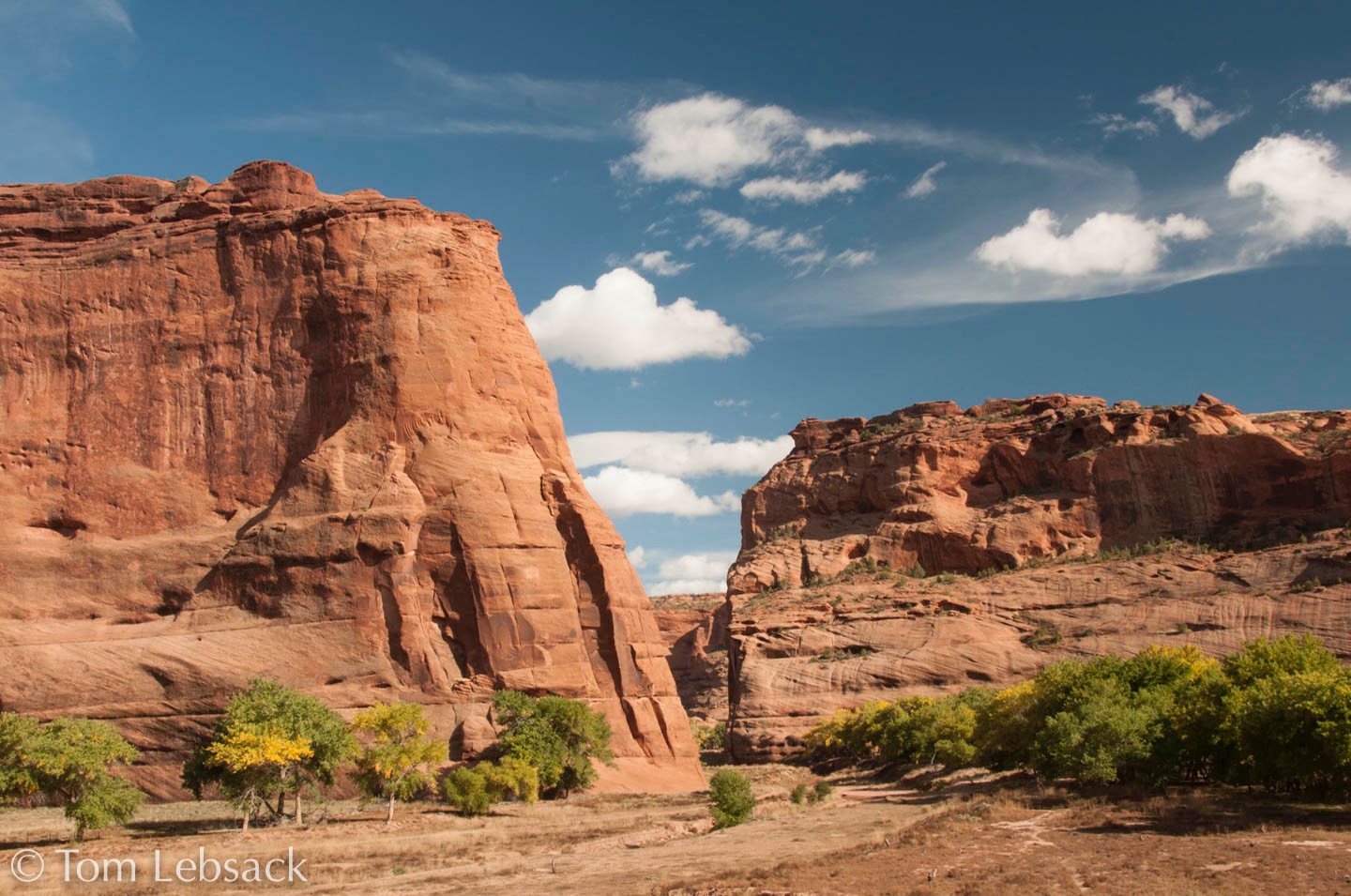
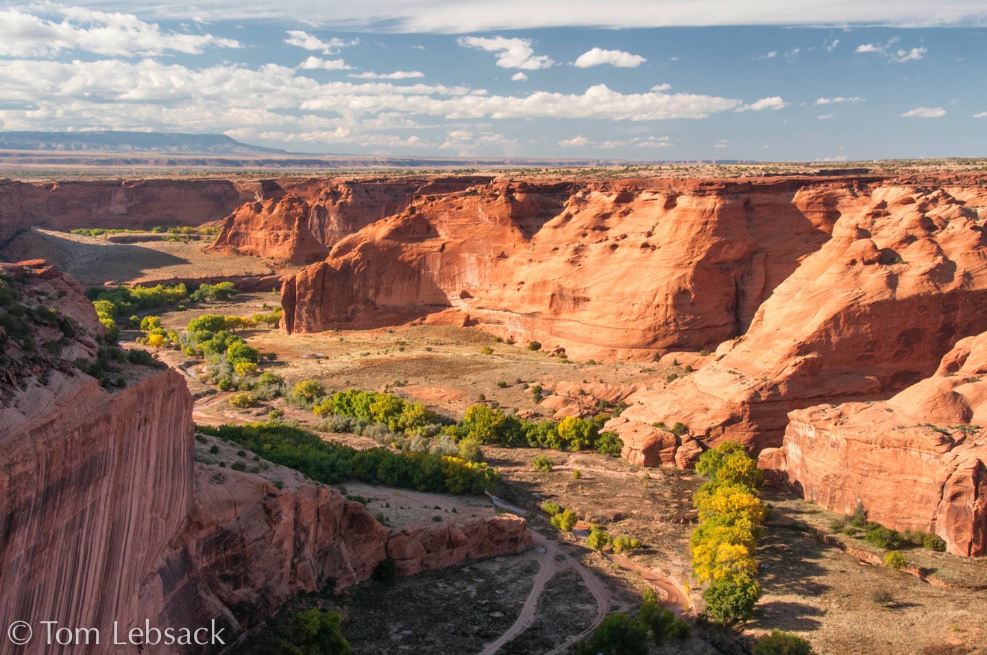
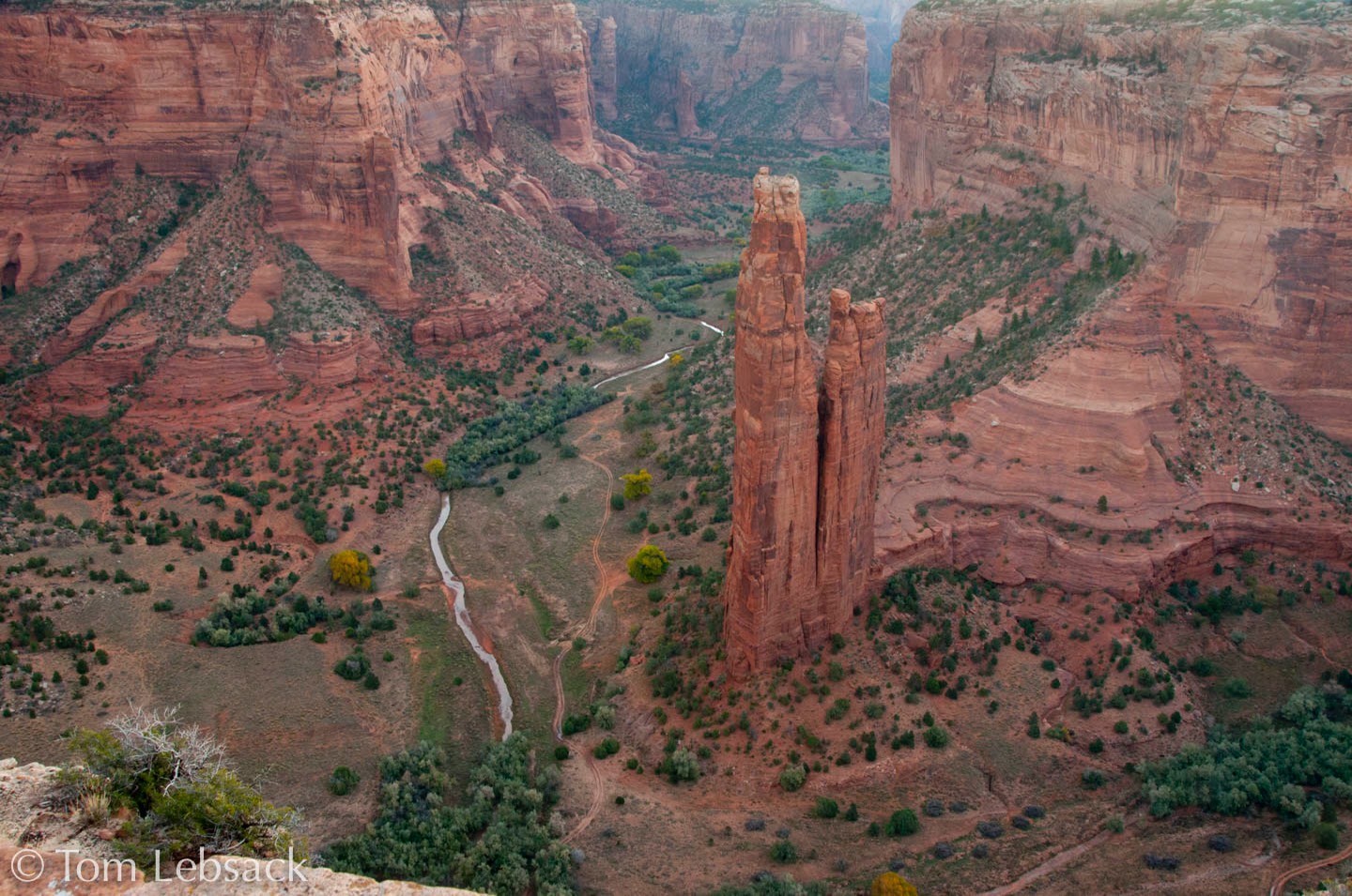
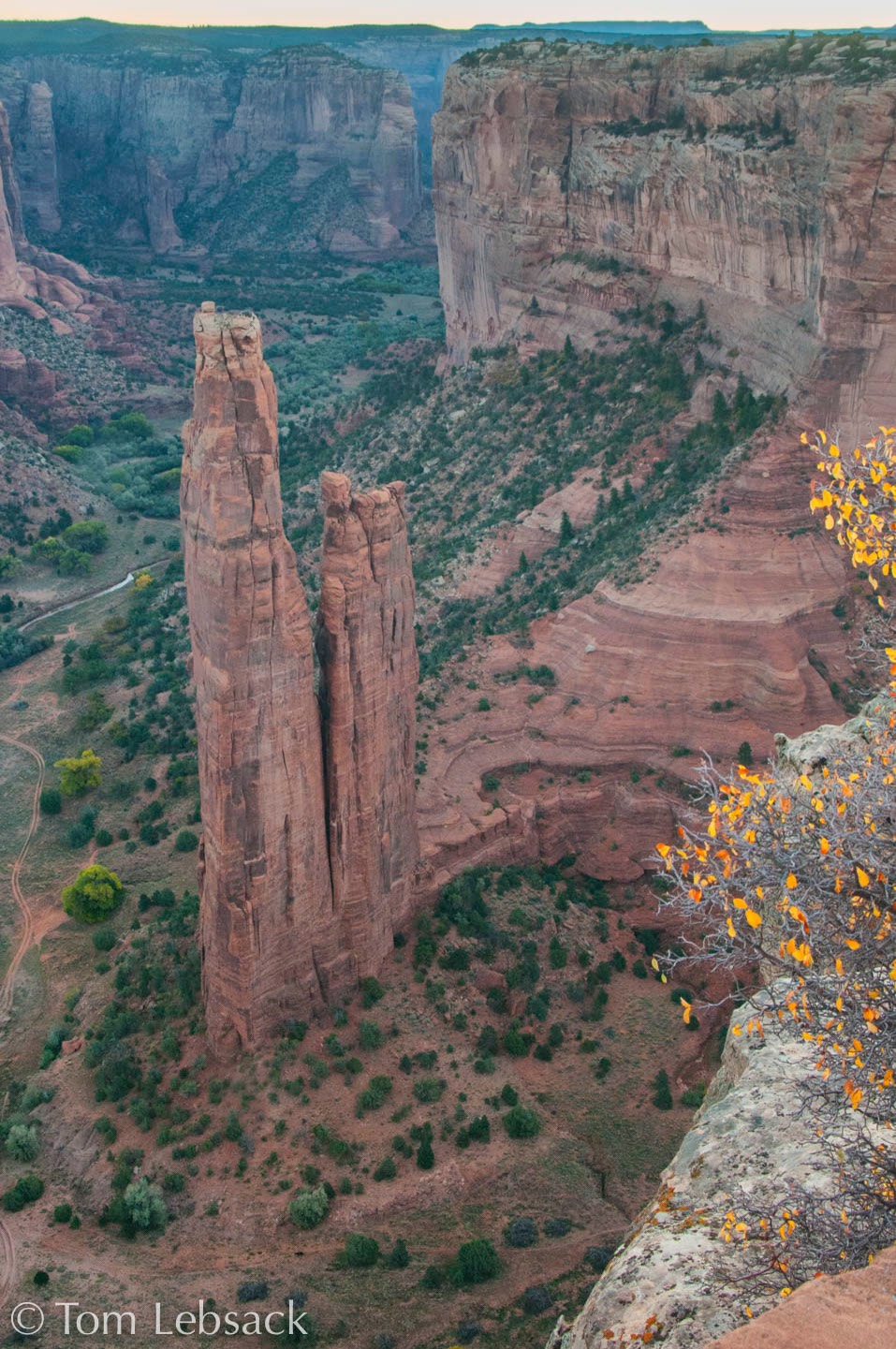
We stayed one night in Chinle at the Holiday Inn just outside the entrance to the canyon. South Rim Drive is a paved road running along the east side of the canyon that allows access to several overlooks of Canyon de Chelly and Monument Canyon; in addition, North Rim Drive provides access to overlooks above Canyon del Meurto. The only unguided access to the canyon floor is along the White House Ruins Trail, which drops about 600 feet from the rim to the valley floor in 1-1/4 miles. Guides will take you by Jeep to other places in the canyon, but we did not have the time.
Canyon de Chelly is a National Monument, adminsiterd by the National Park Service; however, it is the property of the Navajo Nation, and there are many dwellings and inhabitants living inside the “park”.
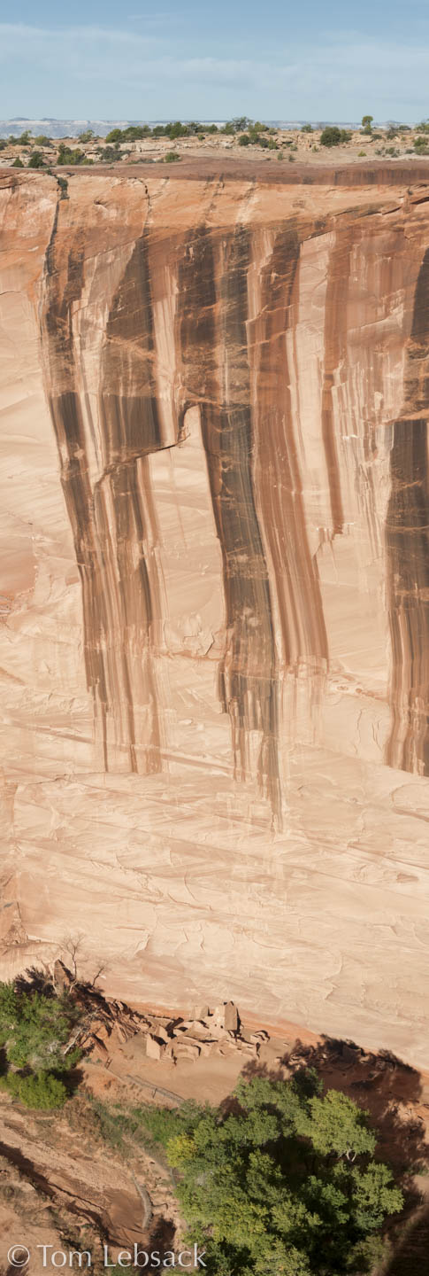
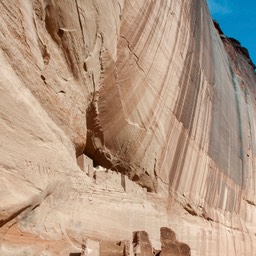
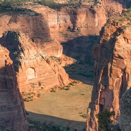
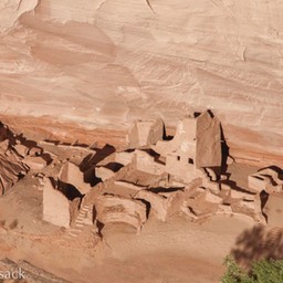
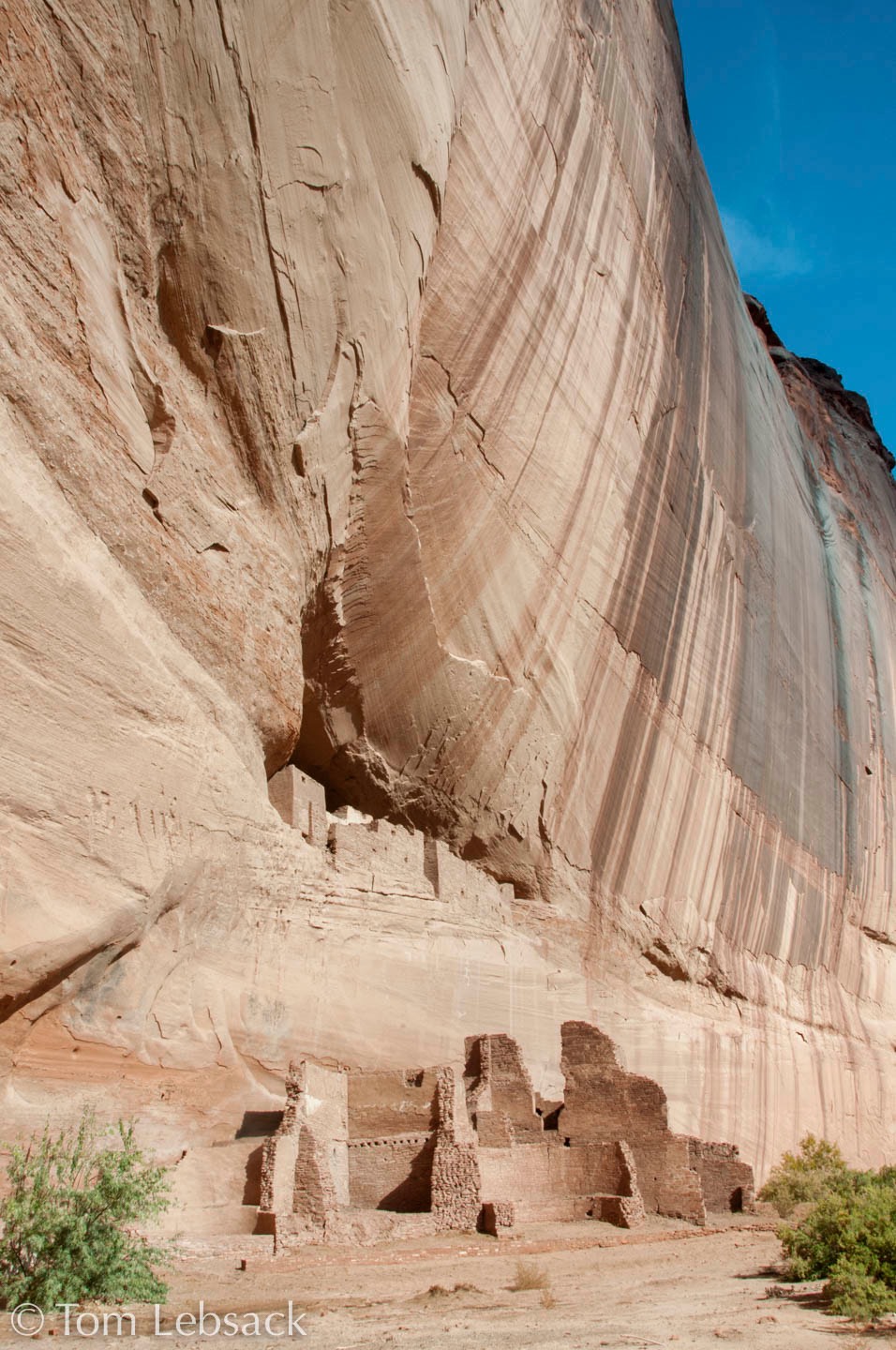
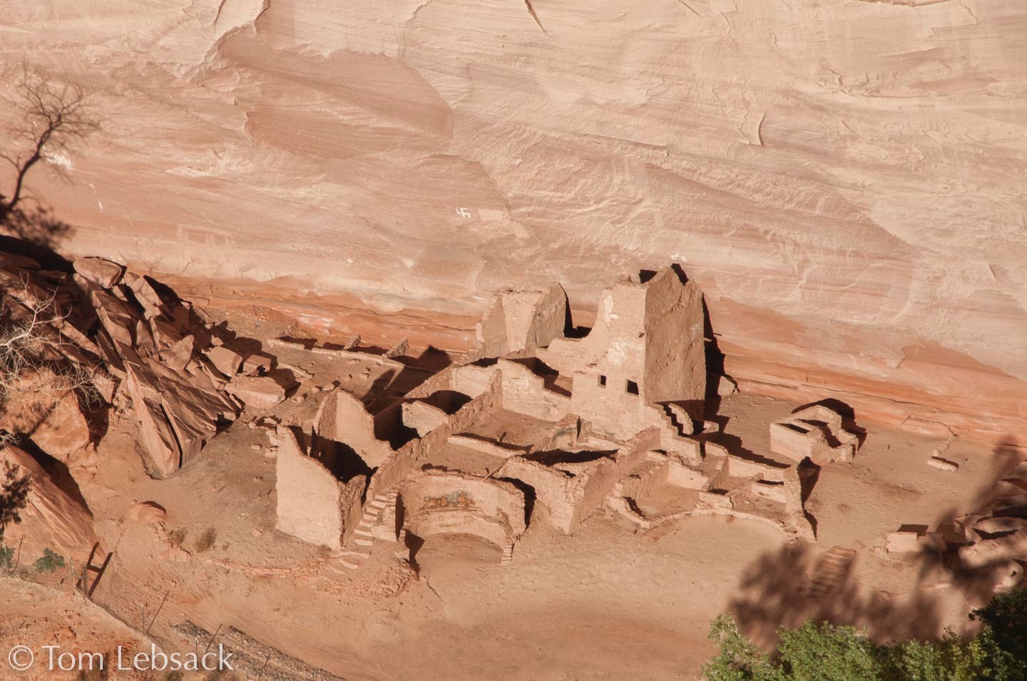
At the left is a vertical panorama taken of the Antelope House ruins, so named from pictographs on the walls dating to the early 1800s. Some of the ruins themselves date to around 600 AD, built by the Ancient Pueblans, but abanoned before 1300.
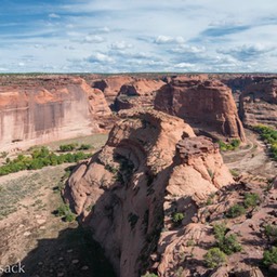
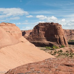
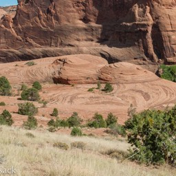
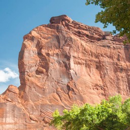
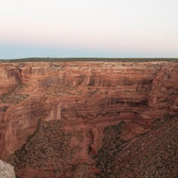
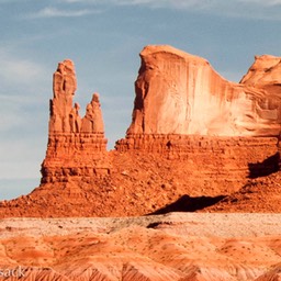
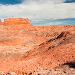
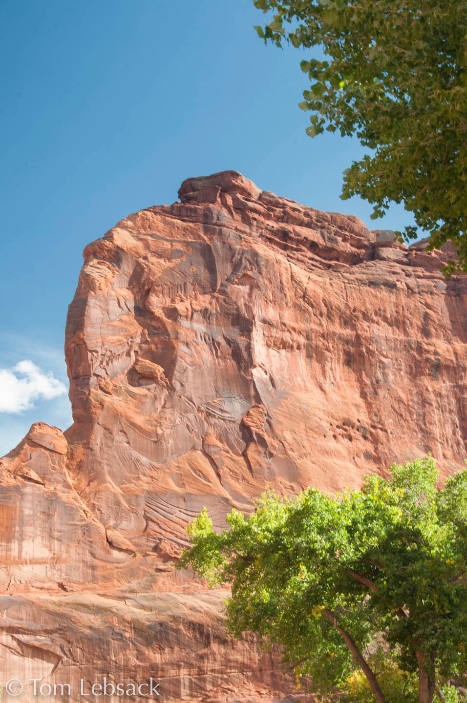
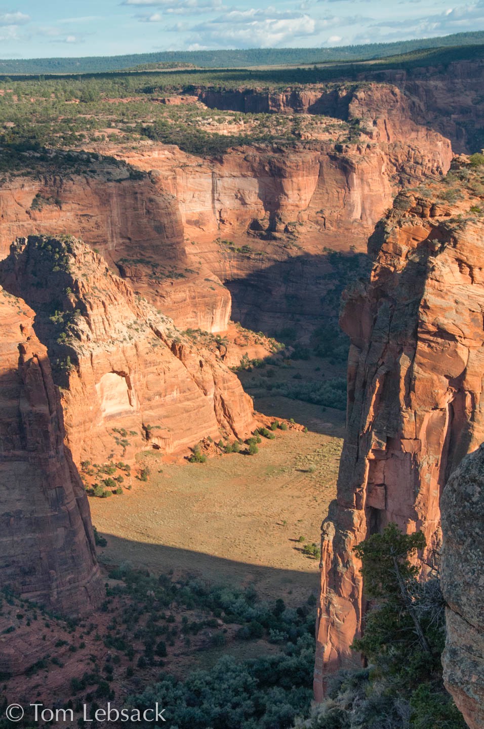
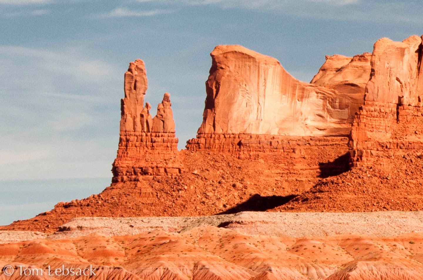
The canyon walls are mainly De Chelly Sandstone, a highly cross-bedded Permian age rock from ancient dunes deposited 230 to 205 million years ago.
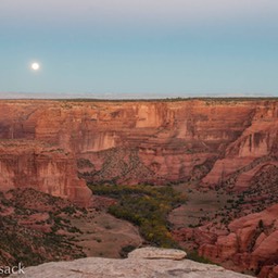
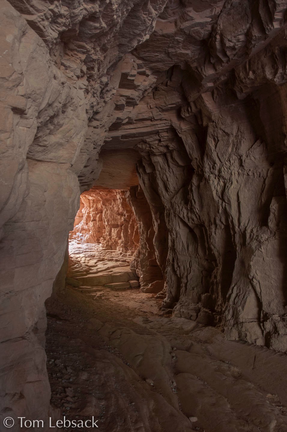
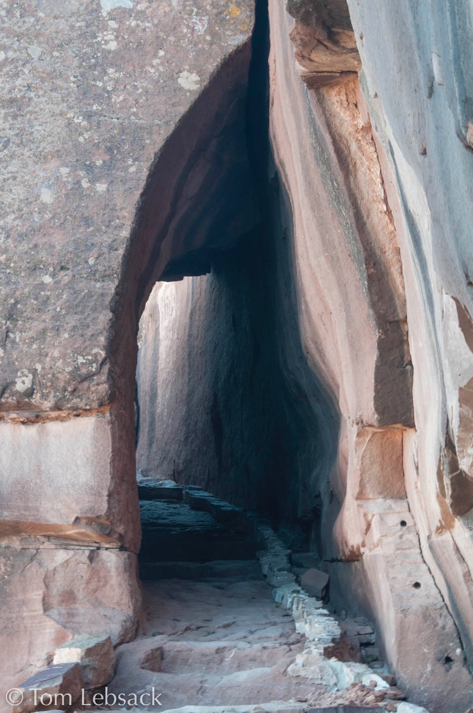
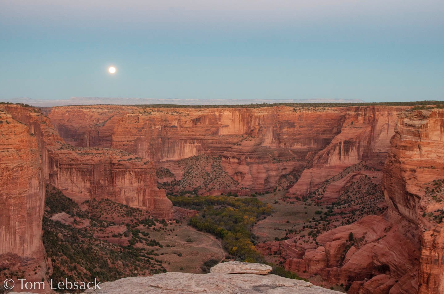
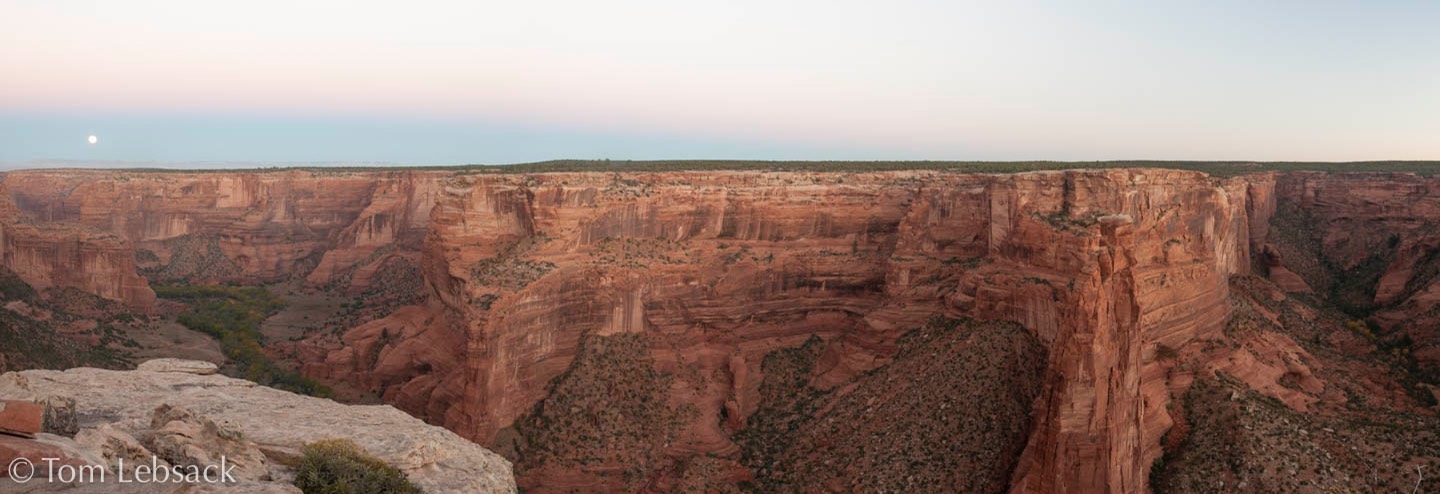
Photography can be challenging because of high contrasts with shadows from the canyon walls. Getting into the canyon or taking twilght or moonlit pictures can yield some nice shots, though.