Palo Duro Canyon State Park
In the Texas Panhandle, about 15 miles southeast of Amarillo, the flat, endless plains are cut open by the Prairie Dog Town fork of the Red River forming Palo Duro Canyon. It is the second-largest canyon in the United States, about 120 miles in length and covering some 400,000 acres. The depth varies but is around 800 feet deep.
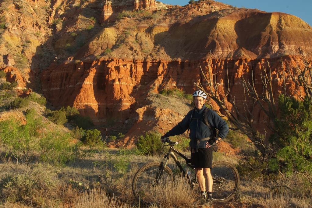
The bright orange/red rocks of the Quartermaster (Permian) formation give the canyon its distinctive look, and provide photo opportunities all day long.
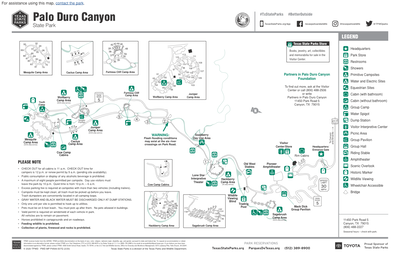
Palo Duro Canyon State Park covers 20,000 acres at the head of the canyon. Click on the map to see more detail. More information about the park can be found here.
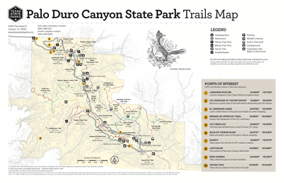
Two visits were made to the canyon in the spring of 2012: one in early April with Jim Pledger and Rick Capozza, and the second in early May with my mountain bike. There are a number of trails, easy-to-moderate, that can be ridden in a couple of days or one long one.
Two more trips were made in April, 2020 and May 2022 for wildflower photography. Drought conditions on the last rip reduced the number of wildflowers dramatically.
Click on the menus items above for scenery and wildflower images.
Back to Texas Scenes Home Page
